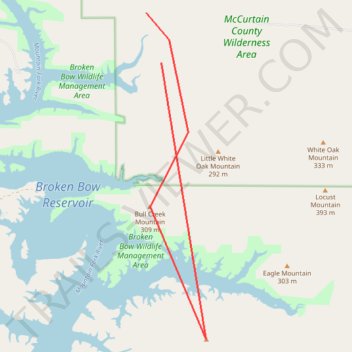
Download McCurtain County Loop (Fixed GPX)
- Distance: 9.5 mi
- Elevation gain: 120 m
- Maximum elevation: 347 m
- Elevation loss: 124 m
- Minimum elevation: 226 m
Interactive trail map
Trail profile
- Distance: 9.5 mi
- Elevation gain: 120 m
- Maximum elevation: 347 m
- Elevation loss: 124 m
- Minimum elevation: 226 m
About this trail
Name: Download McCurtain County Loop (Fixed GPX) trail, distance, elevation, map, profile, GPS track
Start: McCurtain County, Oklahoma, United States (34.29580 -94.65400)
End: McCurtain County, Oklahoma, United States (34.28500 -94.65000)
Coordinates: 34.22540 -94.65400 34.29580 -94.63830