
Ostend trails
Click on a trail to view its statistics, map and profile.
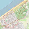
De Haan - Duinbossen
Belgium > West Flanders > Ostend > Vlissegem
Distance: 4.1 mi • Elevation gain: 31 m • Maximum elevation: 12 m
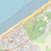
Toerke_de_haan_5k
Belgium > West Flanders > Ostend > De Haan > Klemskerke
name=toerke_de_haan_5k
Distance: 3.2 mi • Elevation gain: 31 m • Maximum elevation: 12 m
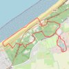
Centerparc 7k
Belgium > West Flanders > Ostend > Nieuwmunster
name=centerparc 7k
Distance: 4.3 mi • Elevation gain: 37 m • Maximum elevation: 12 m
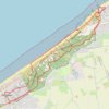
Duinbossen_dehaan
Belgium > West Flanders > Ostend > De Haan > Klemskerke
Distance: 6.9 mi • Elevation gain: 62 m • Maximum elevation: 12 m
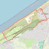
Kronkelend bospad in De Haan – Strandpromenade De Haan rondtocht vanuit Concessiewijk
Belgium > West Flanders > Ostend > De Haan > Klemskerke
Distance: 4.1 mi • Elevation gain: 21 m • Maximum elevation: 10 m